17° 00′ 18″ S / 149° 34′ 13″ W

53 km north of Tahiti

From volcano to atoll · Interactive geology

Tetiaroa beganas a volcano.

The volcano stopped erupting, eroded and sank below the sea. Coral kept growing around it. Ice-age sea-level change later exposed and dissolved the reef platform before flooding it again, restoring the lagoon we see today.

Follow the formation story

Seven stages

From volcano to atoll, one change leads to the next.

Scroll or choose a stage to see what changed and why. The cross-section is simplified and not to scale; it explains the sequence of events rather than the exact shape of Tetiaroa below the water.

Tetiaroa through geologic timeThe sequence shows a volcano emerging and moving away from its hotspot; the volcano then erodes and subsides while a reef and motu form around it. Ice-age sea-level fall exposes and dissolves the reef platform before rising seas flood it to form the modern lagoon.
01Magma rises beneath the Pacific Plate and builds a submarine volcano whose summit emerges above sea level.

Choose a geological stage

01

Date unknown · The volcano forms

Tetiaroa begins as a volcano.

Magma rises through the Pacific Plate above the Society hotspot. Repeated eruptions build a volcano from the deep ocean floor until its summit emerges as an island.

Tetiaroa's volcanic foundation is now completely underwater, so scientists cannot date its emergence directly. Its location in the Society chain suggests that it formed near the time Moorea was forming, but the exact date is unknown.

What the evidence says
Supporting fact for geological stage 01
Geophysical estimates put the submerged volcanic edifice at about 1,300 km³.
02

After the island forms · Volcanism stops

Plate movement shuts down the volcano.

The Pacific Plate carries the volcano northwest, away from the hotspot that supplied its magma. Once that connection is lost, eruptions stop.

The same movement created the age pattern across the Society Islands: younger volcanoes lie toward the active southeast, while older islands and atolls lie farther northwest.

What the evidence says
Supporting fact for geological stage 02
The plate travels roughly 10 cm northwest each year.
03

As the volcano ages · Land shrinks; reef grows

The volcano gets lower while the reef grows upward.

Rain, waves and gravity erode the volcanic island. As the plate carries it away from the elevated hotspot region, the seafloor slowly subsides. Living coral around the shore continues to grow near sunlight and sea level.

The volcanic land becomes smaller, but the reef keeps building upward. The widening stretch of water between the land and the outer reef becomes a lagoon.

What the evidence says
Supporting fact for geological stage 03
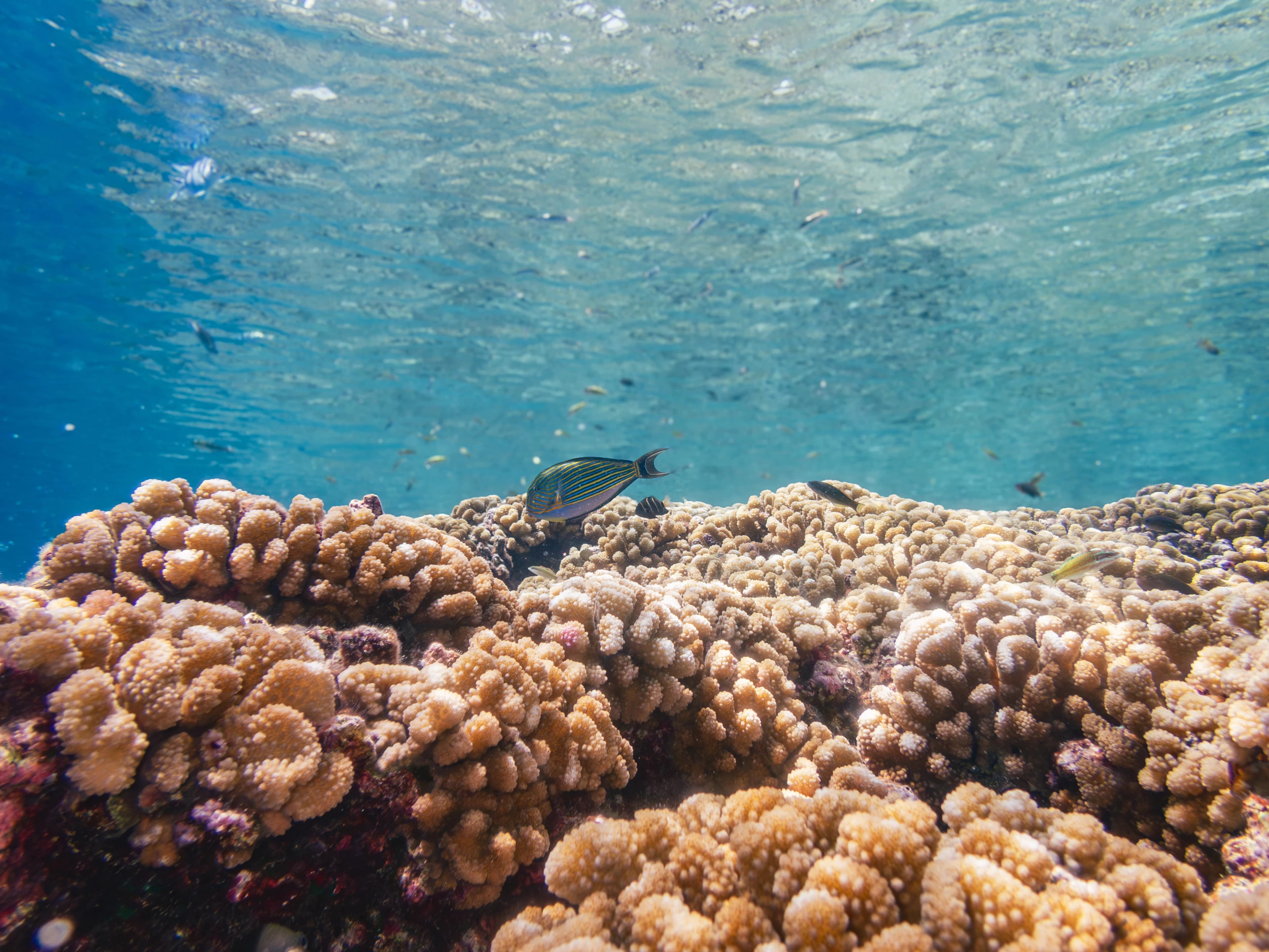
Living coral communities continue to renew the reef's ocean-facing edge.
04

As Tahiti grows · The plate bends

Tahiti's weight may have pushed Tetiaroa lower.

The available evidence suggests that Tahiti grew after Tetiaroa and became a much larger volcano. Its weight bent the oceanic plate into a broad depression that includes Tetiaroa.

Geophysical measurements show regional bending under the Society Islands. They do not reveal exactly how much Tetiaroa sank because of Tahiti rather than normal volcanic subsidence. Tahiti's contribution is therefore a well-supported reconstruction, not a direct measurement at Tetiaroa.

What the evidence says
Supporting fact for geological stage 04
Geophysical estimates put Tahiti's volcanic volume at roughly ten times Tetiaroa's.
05

As volcanic land disappears · Motu form

Waves turn broken reef into islands.

Large waves, especially during cyclones, carry coral boulders, rubble and sand over the reef crest and deposit them on the shallow reef flat.

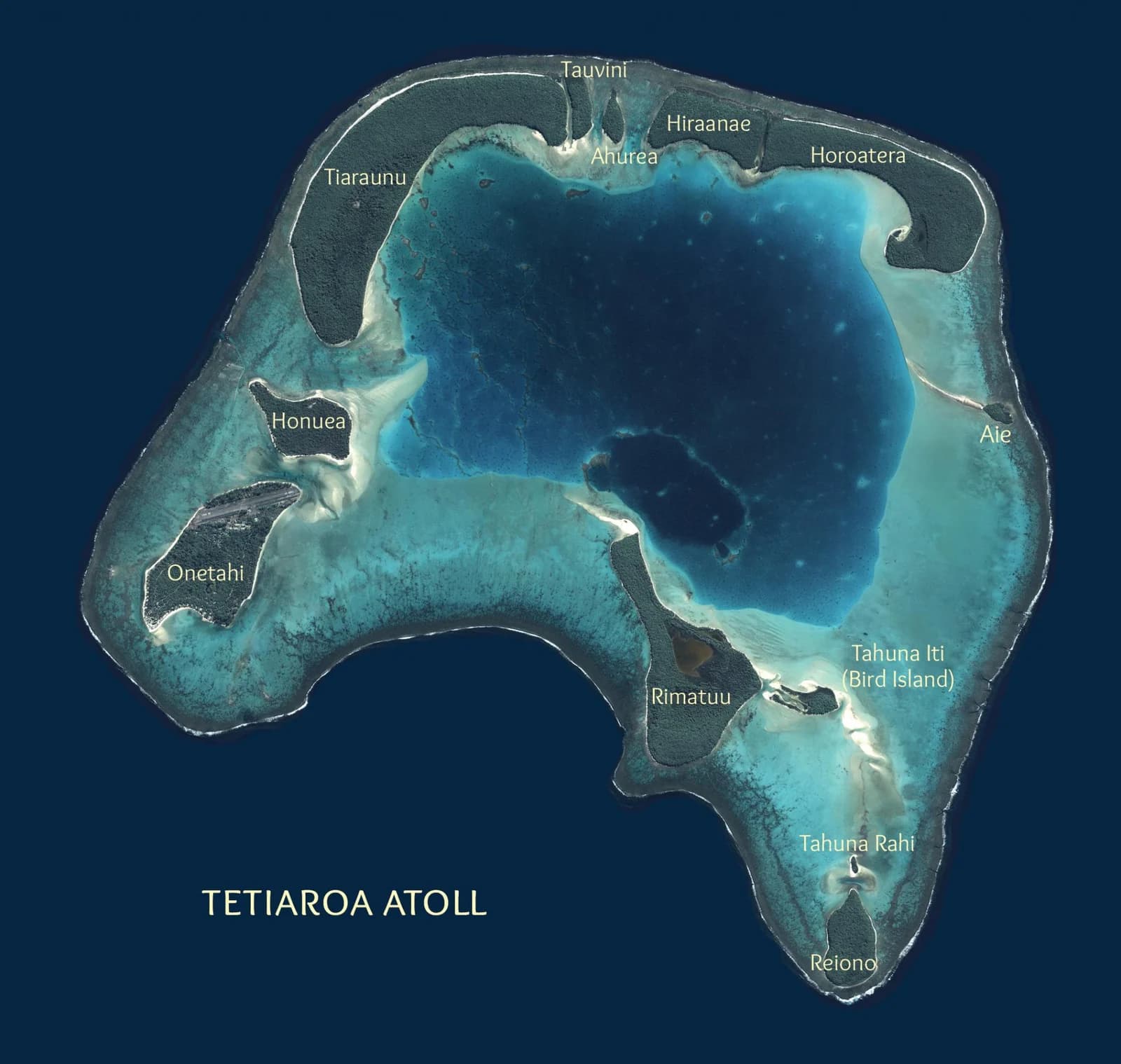
These deposits build up, cement together and support vegetation, forming motu. After the volcanic summit sinks below sea level, the reef encloses a lagoon and the motu sit on its rim: Tetiaroa is now an atoll. The twelve motu seen today are younger and continue to change.

What the evidence says
Supporting fact for geological stage 05
Motu are made mainly from reef-derived carbonate material, not exposed volcanic rock.
06

About 20,500 years ago · Sea level falls

Ice-age sea-level fall exposes the reef platform.

At the Last Glacial Maximum, so much water is stored in continental ice that global mean sea level falls by about 125–130 metres. Tetiaroa's reef platform is left above the sea.

Rainwater dissolves the exposed carbonate rock. Holes and caverns enlarge, leaving limestone ridges and pinnacles between them. This eroded terrain is called karst.

What the evidence says
Supporting fact for geological stage 06
The lowest global mean sea level occurred around 20,500 years ago.
07

From about 19,000 years ago · The lagoon returns

Rising seas flood the karst and restore the lagoon.

As the ice sheets melt, global sea level rises. Seawater floods Tetiaroa's eroded reef platform, and coral begins growing again on the reef margin and on high points inside the lagoon.

Some of the old limestone ridges and pinnacles remain just below the surface. They can be mapped and seen today, and they still affect where boats can travel through the lagoon.

What the evidence says
Supporting fact for geological stage 07
Modern coral growth caps parts of the submerged relief inside the lagoon.
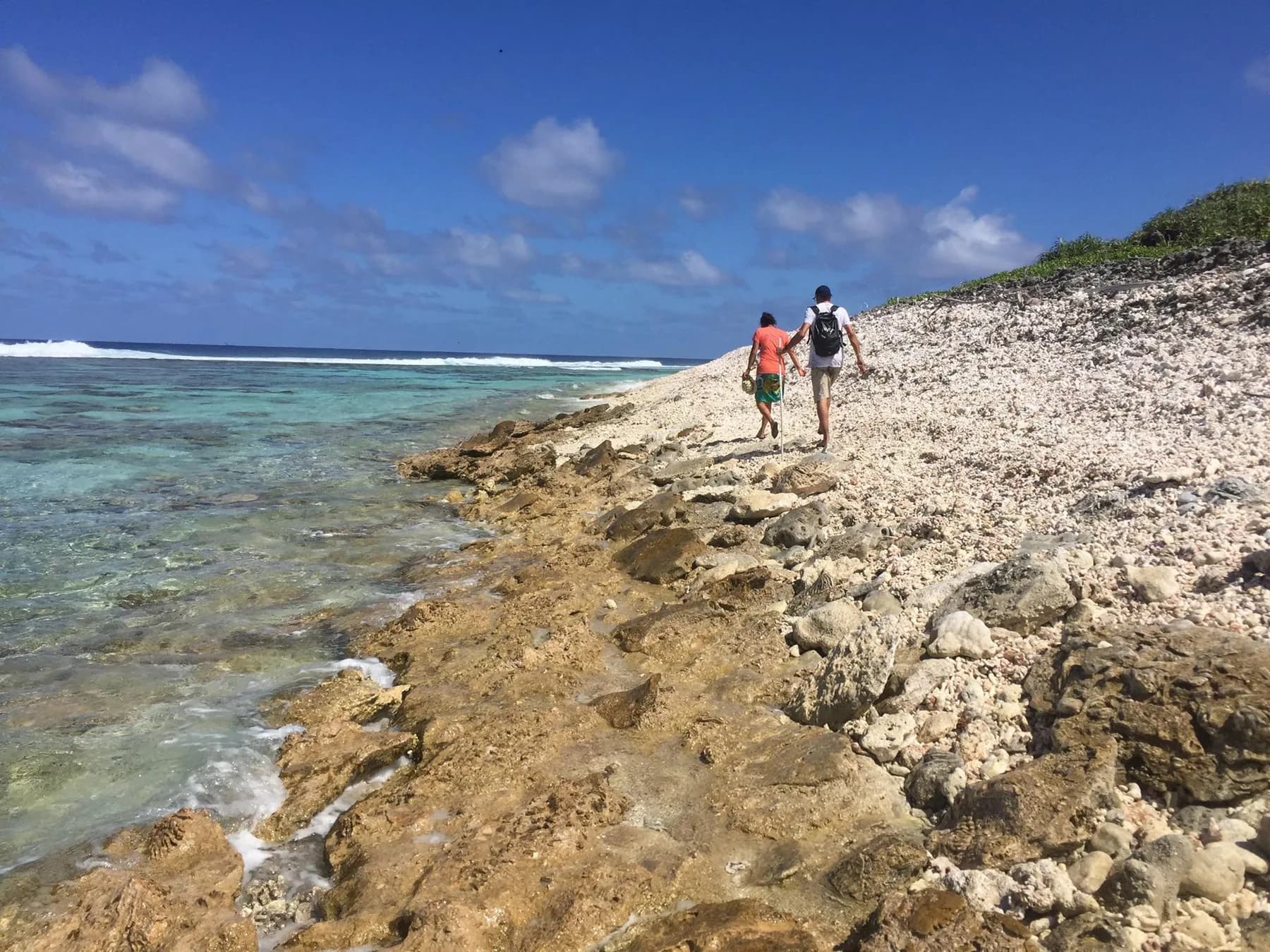
People walking along exposed reef rock on the ocean-facing shore of Tetiaroa.

Field note

The old landscape still shapes life and travel.

The reef flat provides habitat and supports the motu. Ridges and pinnacles inside the lagoon create habitat too, but they also limit where boats can pass and where field teams can work safely.

Test the Tahiti hypothesis

Compare the plate with and without Tahiti's full weight.

Click to switch

TetiaroaTahitiFlexural moatOceanic plate

Four sea-level snapshots

Lower the sea to reveal the old reef platform.

Move the control through four moments. Watch the reef platform emerge as global sea level falls, then disappear beneath the modern lagoon as the sea rises again. The landform is simplified and the water levels are shown relative to today.

The modern lagoonAn interactive cross-section shows four sea levels relative to today, revealing how falling seas exposed the reef platform to karst erosion and rising seas flooded it again.oceanreef platformdissolved limestone
An interactive cross-section shows four sea levels relative to today, revealing how falling seas exposed the reef platform to karst erosion and rising seas flooded it again.
Choose one of four sea-level snapshots0 m · global sea level relative to today
Today
The modern lagoon
Seawater now covers the karst surface. Sediment is accumulating inside the lagoon, and coral caps some high points that remain habitats and navigation hazards just below the surface.

The atoll today

Each part of Tetiaroa records a different stage of its formation.

Choose a marker to see how the visible reef, motu and lagoon relate to the volcanic and limestone structures below the water.

Labeled aerial map of Tetiaroa showing the lagoon and its twelve motu.

Choose a feature on the atoll map

Evidence and sources

Some parts are measured. Others must be reconstructed.

The modern reef and lagoon can be observed directly, and regional plate flexure and global sea-level change have been measured. Tetiaroa's submerged volcano has not been dated, so its age and exact history of subsidence remain reconstructions.

  1. 01Tetiaroa Society · Geologic history
  2. 02Geophysical Journal International · Society Islands flexure
  3. 03Journal of Volcanology and Geothermal Research · Moorea chronology
  4. 04Nature · Last Glacial Maximum sea level
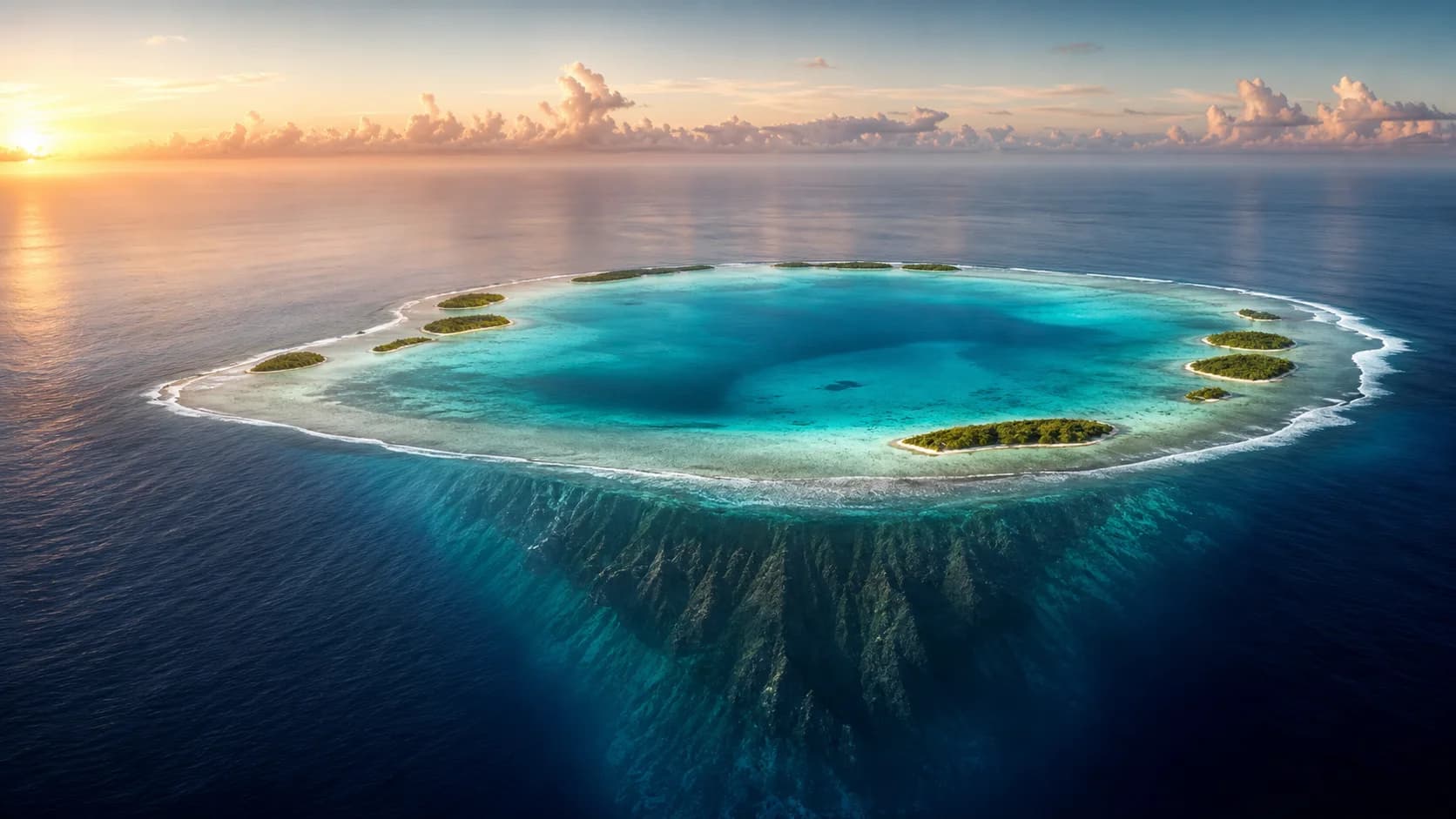
Illustrative aerial view of a coral atoll with its volcanic foundation visible beneath deep water.

Tetiaroa is still changing

Follow the science of a living atoll.

Coral growth, storms, sediment and sea-level change continue to reshape Tetiaroa. Explore the research that tracks those changes and supports the atoll's future.